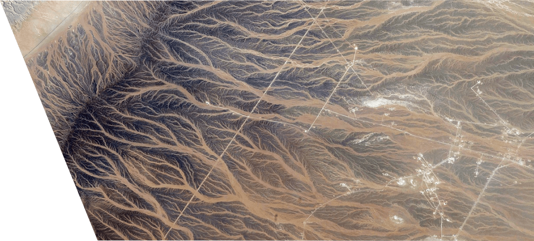
Technology of searching objects and minerals
VMP technology (verification of multispectral forecast) is based on mathematical and analytic-statistical analysis of images of the Earth's surface, obtained using multispectral remote sensing satellites, using, in some cases, additional aerial photography from unmanned aerial vehicles.
An example of using VMP technology
Stage 1
Identification of the localization of gold deposits within the zone of the study area, identification of promising areas with a concentration of the useful component in the ore body sufficient for economically profitable industrial production of Au, contouring.
Stage 2
Perform geophysical surveys of promising areas. Construction of a deep geological 3d model of the field.
Stage 3
Estimation of the volume of the ore body within the territory recorded on the image, the assessment of projected resources and commercial reserves of Au. Obtaining indicators of the specific Au content in the ore body by potential wells
Cost-effectiveness of VMP technology
The economic efficiency of the VMP technology is achieved by eliminating costs that are mandatory with traditional methods of exploration
The cost of geophysical, geochemical, geological survey to determine the geophysical characteristics of the field (VMP technology allows you to immediately determine the type and profile of the field)
The cost of drilling a large number of exploratory and production wells in large areas (VMP technology eliminates the drilling of unnecessary wells)
The costs associated with the appreciation of work, in the case of difficult geographical conditions, and as a result - restrictions for field and office work
Costs for development and decommissioning of dry wells
Time costs (inflation, risks, etc.)
Expenditures on environmental protection, land reclamation, etc.
The use of VMP technology allows reducing:
10 times
date of exploration
3 times
financial expenses
by 50%
all financial expenses for exploration


