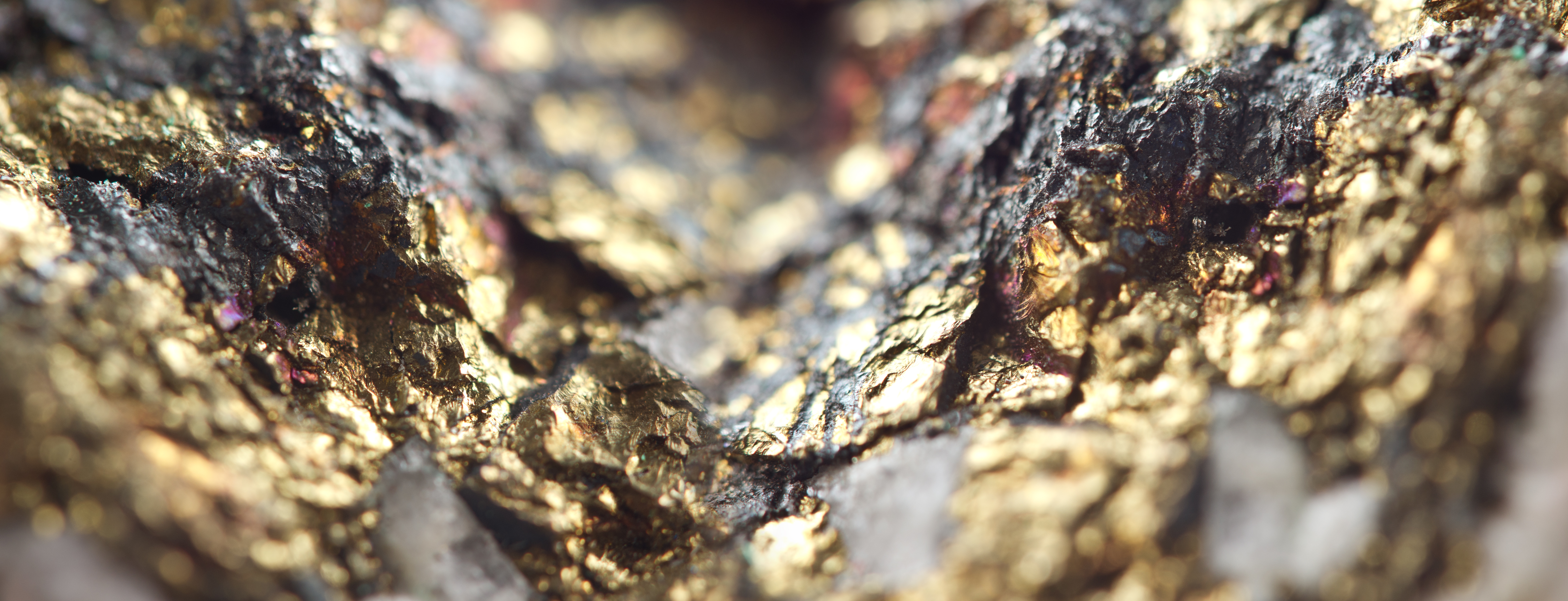
Modern technologies in gold mining
Our proprietary software uses high-performance computing to effectively evaluate deposits of both indigenous and loose gold. We work both with prospective sites resources (P3-P1), also with proved and assessed reserves of categories A, B, C.
Inferred resources
P3

P2
P1

Reserves
A
B
C
We use advanced data processing techniques with the implementation of artificial intelligence. The method is extremely computationally efficient and our obvious advantage is that our systems are able to provide the required performance. It uses digital technology and machine learning using a high-performance cluster built on the basis of the Tesla P40, A100 accelerators, and for inference - on the basis of the Tesla T4. The interconnect is based on 10 and 100 GBE and 100 GB Infiniband technologies. Thematic filters and classifiers with virtual spectral card file have been created, amount of which is currently 86.
How it works
- Minerals and natural resources have characteristic features of spectral response, absorbing radiation in the 400-2500 nm range.
- The images obtained by spectral imaging make it possible to use some methods of extracting and comparing spectra with those previously known.
- In this way, the geological maps are refined, the hypotheses and forecasts of ore and mineral deposits on the outcrops are tested.
- We receive data from satellite imagery (significant coverage, low spatial resolution) and from aerial photography, including highly sensitive specialized optics UAVs.
- Before viewing and analyzing the multispectral images are mathematically and digitally processed by different algorithms: spatial, frequency and statistical. The main component method removes redundant information from images that is a consequence of correlation in response from objects that make them similar to each other.
To perform a spectral analysis using the IMRS method
License and location of the site should be granted, the rest will be done by satellite photos, our drones and data centers. By minimizing the time required to obtain the original data, the technology produces the fastest results on the market.
The development projects
In addition to its application in gold mining, IMRS technology can implement the following tasks:
Vegetation monitoring
Crop monitoring
Forest surveillance
Prospecting of Other Solid Mineral
Monitoring of influence of anthropogenic factors